
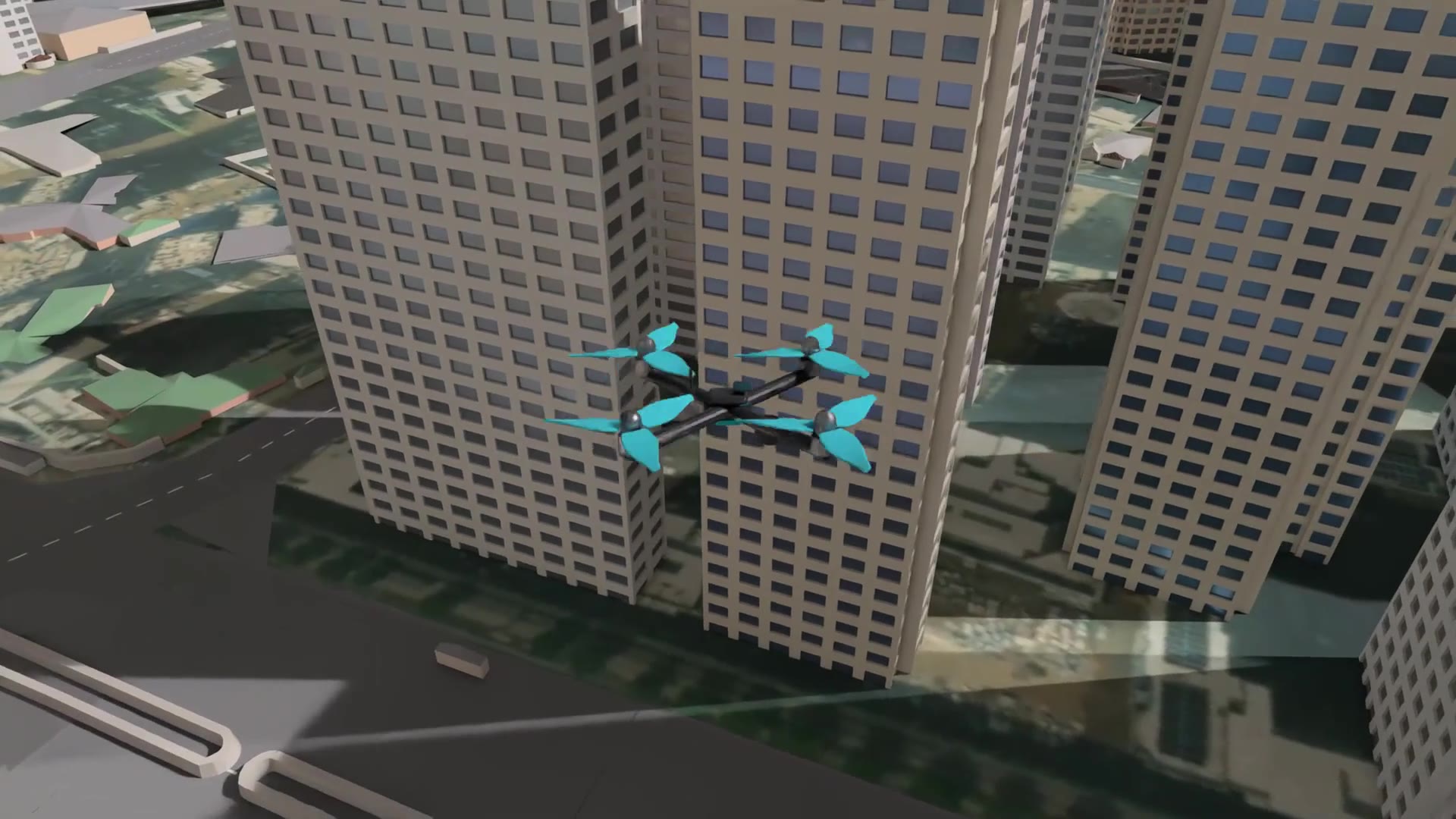
Simulation view · Urban patrol flight
Example results
Measured on 2026-10-12 · imSim common verdict criteria v1 · scenario definition criteria
Urban patrol flight
PassThe drone takes off from an urban base, passes through the patrol area on a route planned to avoid buildings, diverts to a reported location on the way, then returns to the base and lands.
7 of 7 verdict items passed · 3 not measured · same verdict across 2 repeated runs of the same test
| Item | Criterion | Measured | Verdicts |
|---|---|---|---|
| Abnormal terminationCriterion 0 | 0 | 0 | Pass |
| CollisionCriterion 0 | 0 | Not measured | Not applicable |
| Near missCriterion 2 or fewer | 2 or fewer | Not measured | Not applicable |
| Emergency stopCriterion 5 or fewer | 5 or fewer | 0 times | Pass |
| AnomaliesCriterion 3 or fewer | 3 or fewer | Not measured | Not applicable |
| Maximum tilt — post-run checkCriterion 35.0° or less · Scenario definition | 35.0° or lessScenario definition | 23.9° | Pass |
| Maximum tilt — in-run checkCriterion 35.0° or less · Scenario definitionThis row checks the same criterion as the row above at a different time. Both rows count as verdict items. | 35.0° or lessScenario definition | 23.9° | Pass |
| Maximum altitudeCriterion 60 ~ 150 m · Scenario definition | 60 ~ 150 mScenario definition | 103.0 m | Pass |
| Waypoint accuracyCriterion Mean 5.0 m or less · Scenario definition | Mean 5.0 m or lessScenario definition | Mean 0.07 m · 42 points | Pass |
| LandingCriterion Landing confirmed · Scenario definition | Landing confirmedScenario definition | OK | Pass |
Scenario's own summary: Pass — not scored by the judge; the overall verdict takes the worse of this and the items above.
Values measured in this test (not verdict items)
3.8 km
Flight distance
- The flight is kinematic: the aircraft is moved along the planned route. Thrust and aerodynamics are not computed.
- Waypoint accuracy and tilt therefore do not represent the flight performance of a real aircraft.
- The route is chosen by a path planner to avoid buildings. The flight sequence and course changes follow the scenario as written, not a trained AI.
- Collision, near miss and anomalies are not measured in this test. Whether buildings were actually avoided is therefore not judged.
- Altitude, tilt, waypoint and landing criteria are set by this scenario. The other criteria are imSim common defaults used in all domains.
- The city is a model of a real urban area built from digital maps.
- These are simulation results and do not replace physical flight testing.